Weather Outlook – Monday, October 7, 2019
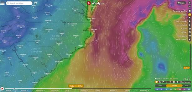
Wind Fields Friday
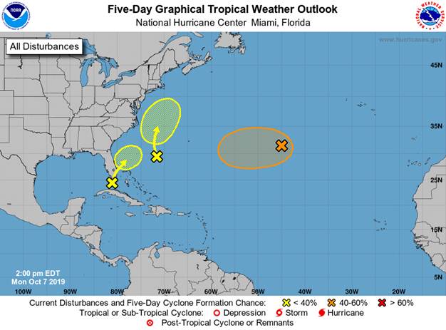
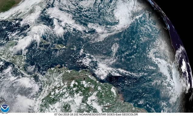
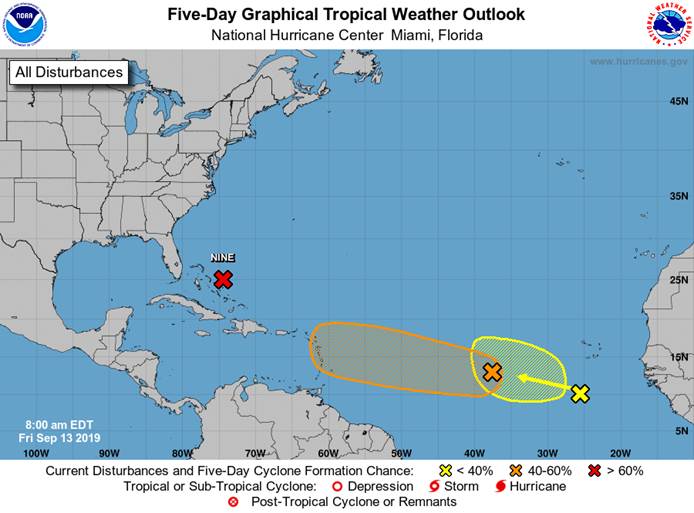
Tropical Weather Outlook
NWS National Hurricane Center Miami FL
200 PM EDT Mon Oct 7 2019For the North Atlantic…Caribbean Sea and the Gulf of Mexico:
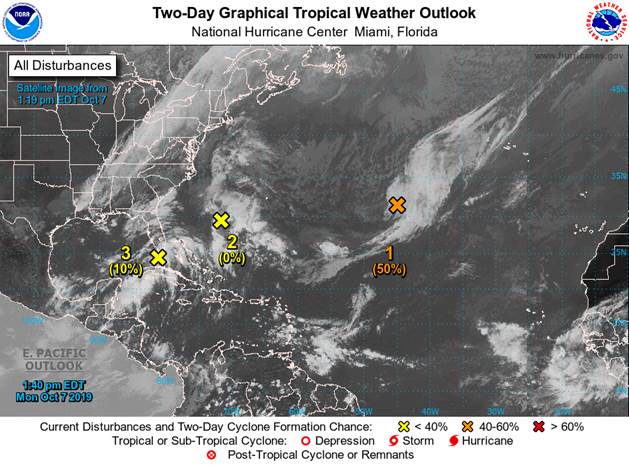
1. A non-tropical low pressure system located over the central Atlantic
Ocean between Bermuda and the Azores is producing gale-force winds
to the north of its center. Environmental conditions are forecast
to be generally conducive for the low to acquire some subtropical or
tropical characteristics during the next day or two, and this system
could become a tropical or subtropical storm on Tuesday or Wednesday
while it moves slowly westward. Upper-level winds are expected to
become unfavorable for further development by Wednesday night.
Additional information on this system can be found in High Seas
Forecasts issued by the National Weather Service.
* Formation chance through 48 hours…medium…50 percent.
* Formation chance through 5 days…medium…50 percent.
2. Showers and thunderstorms located over the western Atlantic
between the southeastern coast of the United States and Bermuda
are associated with a trough of low pressure. This system is
forecast to move northwestward and a non-tropical low pressure area
is expected to form when the system interacts with a frontal
boundary in a couple of days. The low could acquire some
subtropical characteristics later in the week while it meanders
off the east coast of the United States. Additional information on
this system can also be found in High Seas Forecasts issued by the
National Weather Service.
* Formation chance through 48 hours…low…near 0 percent.
* Formation chance through 5 days…low…30 percent.
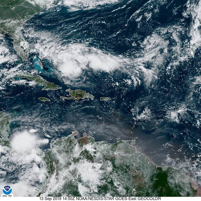
3. A trough of low pressure extending from the Straits of Florida
northeastward across the southern Florida peninsula is producing
disorganized showers and thunderstorms. Some slight development of
this system is possible on Tuesday when it moves over the far
western Atlantic. The disturbance is forecast to merge with a
frontal boundary and developing low off the east coast of the
United States by Wednesday, and no further development is
anticipated after that time. Regardless of development, this system
is expected to produce locally heavy rainfall over portions of the
the southern Florida peninsula during the next day or so.
* Formation chance through 48 hours…low…10 percent.
* Formation chance through 5 days…low…10 percent.
High Seas Forecasts issued by the National Weather Service
can be found under AWIPS header NFDHSFAT1, WMO header FZNT01
KWBC, and online at ocean.weather.gov/shtml/NFDHSFAT1.php