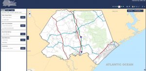
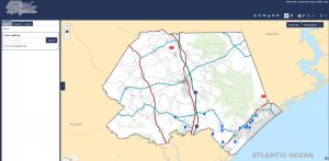
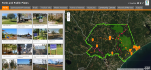
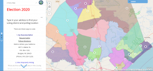
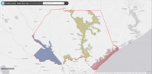
Welcome to Pender County’s GIS Services Page! Here you will find access to GIS mapping applications, GIS Data Request Forms and Addressing Information. We endeavor to publish applications that are easy to use and flexible enough to work on both web and mobile platforms. For the best performance with this website, please use the latest versions of the following browsers, IE 9 and higher, Firefox, Chrome, and Safari.
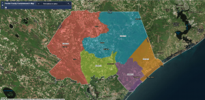
Pender County Geographic Information Services (GIS) primary focus has been to centralize the creation, maintenance and dissemination of geographic data, and to provide custom mapping services. The GIS Division provides geographic information support to internal county departments, and other governmental agencies, as well as, our citizens. Examples of some geographic layers maintained by the GIS Division include digital aerial photography, zoning, streets, 911 Addresses, tax parcels, commissioner districts and zip code boundaries. GIS provides a visual approach for problem solving.
For additional information please contact:
Josh Norwood, GIS Manager
Phone: 910-259-0129
Email: jnorwood@pendercountync.gov
Mike Dickson, GIS Analyst (911 Addressing)
Phone: 910-259-1442
Email: mdickson@pendercountync.gov

